Interactive Map
Explore churches, monasteries, chapels, and heritage sites across Armenia with a map built for discovery.
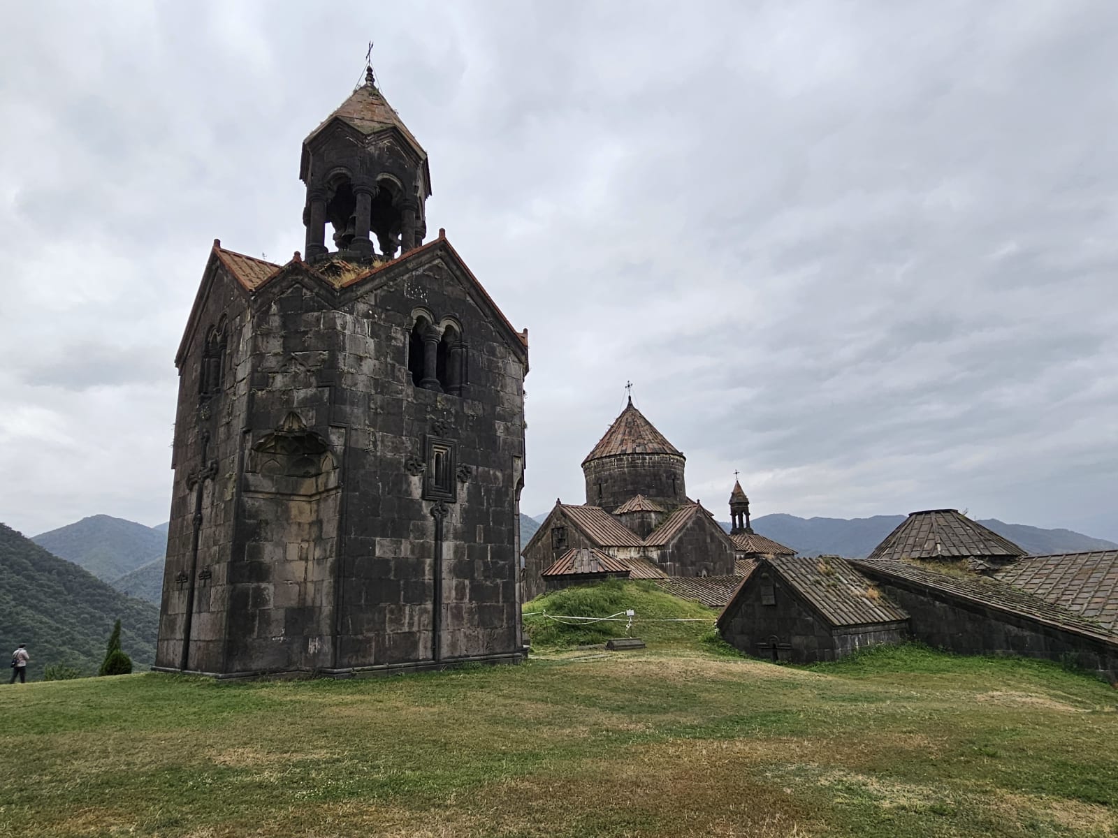
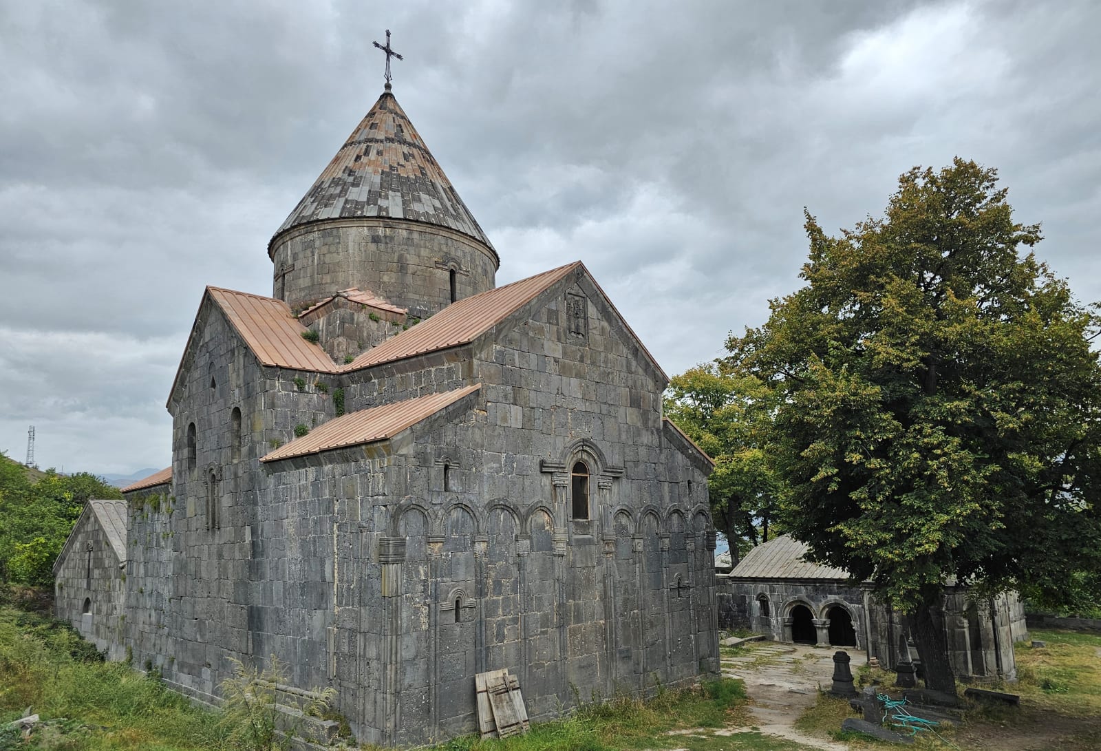
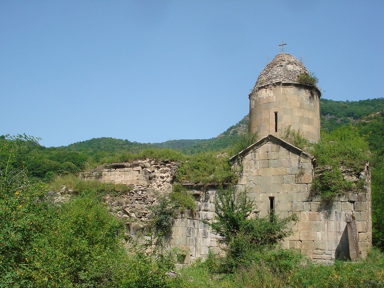
Sacred heritage of Armenia
Discover ancient monasteries, historic cathedrals, village chapels, and active churches through a calm, visual map made for exploration.
Churches, monasteries, chapels, and heritage sites in one map.
Built for mobile exploration, planning, and cultural discovery.
Search by name, location, saint, or architectural type.
Armenia adopted Christianity as its state religion in 301 AD. Its churches and monasteries carry centuries of architecture, pilgrimage, manuscript culture, and community life. This map helps make those places easier to find, compare, and visit.
What you can do
Explore churches, monasteries, chapels, and heritage sites across Armenia with a map built for discovery.
Open each site to view its location, history, imagery, directions, and related links in one place.
Find places by name, location, saint, or architectural type without losing your place on the map.
Move from learning to visiting with location tools that help you plan a route to each sacred site.
Preview the architecture, landscape, and details that make each church worth a closer look.
Use the map to connect well-known landmarks with quieter sites in the same area.
Mother church
From the early fourth century to today, Armenia's church sites have connected worship, art, scholarship, and identity. The map brings those places into a single, approachable view.
Featured churches
Interactive preview
Tap the preview to open the full interactive map with search, filters, location tools, and church details.
Find places to visit, learn their stories, and move through Armenia's church landscape with a clearer sense of context.
Open Interactive Map